
Block Records for McLennan County Neighbors
Public sources around a McLennan County address answer narrow questions. Parcel and tax records place an owner role on a tract. A map supplies boundaries and jurisdiction layers. Election information has public fields but also protected-address rules. Neighborhood organizations publish public contacts, not a universal list of people who live nearby. Keep the evidence labeled by source and date before describing the block or its neighbors.
| Source | What It Shows About a Block | Access |
|---|---|---|
| Waco GIS McLennan County MapServer | Parcel and boundary context, city limits, PID, neighborhood and other overlay layers | Public map service with query, identify, find, and export controls. |
| MCAD map search | Parcel, CAD reference, owner and map-navigation context | Public interface after its disclaimer acceptance. |
| County tax portal | Tax owner, account, tax year, situs and mailing-address clues | Online search; an owner role is not an occupancy finding. |
| Texas voter records | Lawful public registration, precinct, status, and participation fields | Protected-voter rules and election-law limits apply. |
| Waco neighborhood directory | Voluntary association profiles and public contacts | Organization information, not a member roster. |
The map and tax sources make a good starting pair because they distinguish location from ownership. A mailing address can differ from a situs address, and a property can be owned by a trust, estate, entity, or several people. Treat the result as a documented parcel relationship, then decide whether a separate, lawful source supports any further inquiry about McLennan County neighbors.
McLennan Parcel Maps Set the Block Boundary
The official Waco GIS MapServer has map layers plus query, identify, find, and export functions, with a maximum record count of 2,000. Its related legend includes parcel/property, Waco city limits, PID, neighborhood boundaries, county boundary, utilities, school property, church property, and historic-property layers. These overlays resolve where a parcel sits and which jurisdiction applies. They are not a bulk names database unless a public layer expressly returns names.
MCAD adds a practical nearby-parcel view. Its map search accepts an account number, all or part of a person or business name, or a street address. Neighborhood and Sub-Division selectors, Mapsco, radius controls, zoom, measurement, print, Analyze Map, and export functions help frame a small area. The map can show up to 1,000 analysis rows. Keep that as parcel geography, not a claim that every listed record is a current neighbor.
The county Mapping Department reports roughly 850 linen maps covering property ownership, city limits, elections, and railroads. Its modern mapping work also supports ownership, election, and floodplain mapping. For a question about a historic or rural address, a map staffer can identify the appropriate map or overlay instead of filling a gap with private delivery or utility information.
McLennan County Neighbors: Owner Is Not Occupant
A tax or CAD result identifies an owner-and-parcel record, not automatically a current occupant. The displayed owner can be an entity, trust, estate, or several people. The mailing address may be away from the parcel. A neighborhood label, Mapsco reference, subdivision name, or homestead-related context is likewise not a household roster. This distinction is the key limit on any search for McLennan County neighbors.
Keep the situs address, mailing address, CAD/PID, account number, legal description, owner name, tax year, and map jurisdiction as separate values. A legal description identifies the tract through a lot, block, subdivision, survey, or abstract reference. It can link a map result to a recorded instrument, but it does not identify everyone who may be present at that address.
Map a McLennan County Block Parcel by Parcel
The adjacent-parcel method stays within a short radius of one address. It begins with the parcel, not a broad surname search. Moving outward one parcel at a time keeps the street number, unit, jurisdiction, and record date visible. It also makes clear when the question has grown beyond the immediate block.
- Enter the street address in the MCAD map or county tax portal, then save the account number, CAD reference, situs address, and legal description.
- Open the parcel in the GIS or MCAD map and identify the directly adjoining parcels. Use neighborhood, city-limit, and other overlays only as geographic context.
- Inspect each adjacent parcel’s recorded owner and mailing-address fields, keeping the tax year and source beside the result.
- When a deed question matters, search the County Clerk’s Official Public Records by the named grantor or grantee. The index begins electronically in 1996; older books, Archives, and microfilm form the earlier trail.
- Stop at the block or chosen radius. For a named street’s longer address-record chain, use the McLennan County street directory instead of treating a block map as a whole-street roster.
This flow can show adjacent parcels and their recorded roles. It cannot supply private customer lists, protected election addresses, or every person in a household.
Waco Neighborhood Contacts Near McLennan Neighbors
Waco describes neighborhood associations as voluntary, independent organizations. The city’s Neighborhood Engagement directory offers public association profiles, meeting information, and organizational contacts. It does not provide a general roster of residents. Those profiles can help identify a public meeting or the organization associated with a map label without assigning any person to that organization.
| Public neighborhood resource | What the city profile identifies |
|---|---|
| Brookview | Association purpose, public contact, meeting cadence, and published dues information. |
| Austin Avenue | Historic-neighborhood profile, quarterly meetings, a public email, and Castle Heights context. |
| Northeast Riverside | July 2013 organization date, monthly meeting information, public dues details, and a PO Box. |
The Austin Avenue profile is an official example of the kind of organization-level detail available through the city directory.
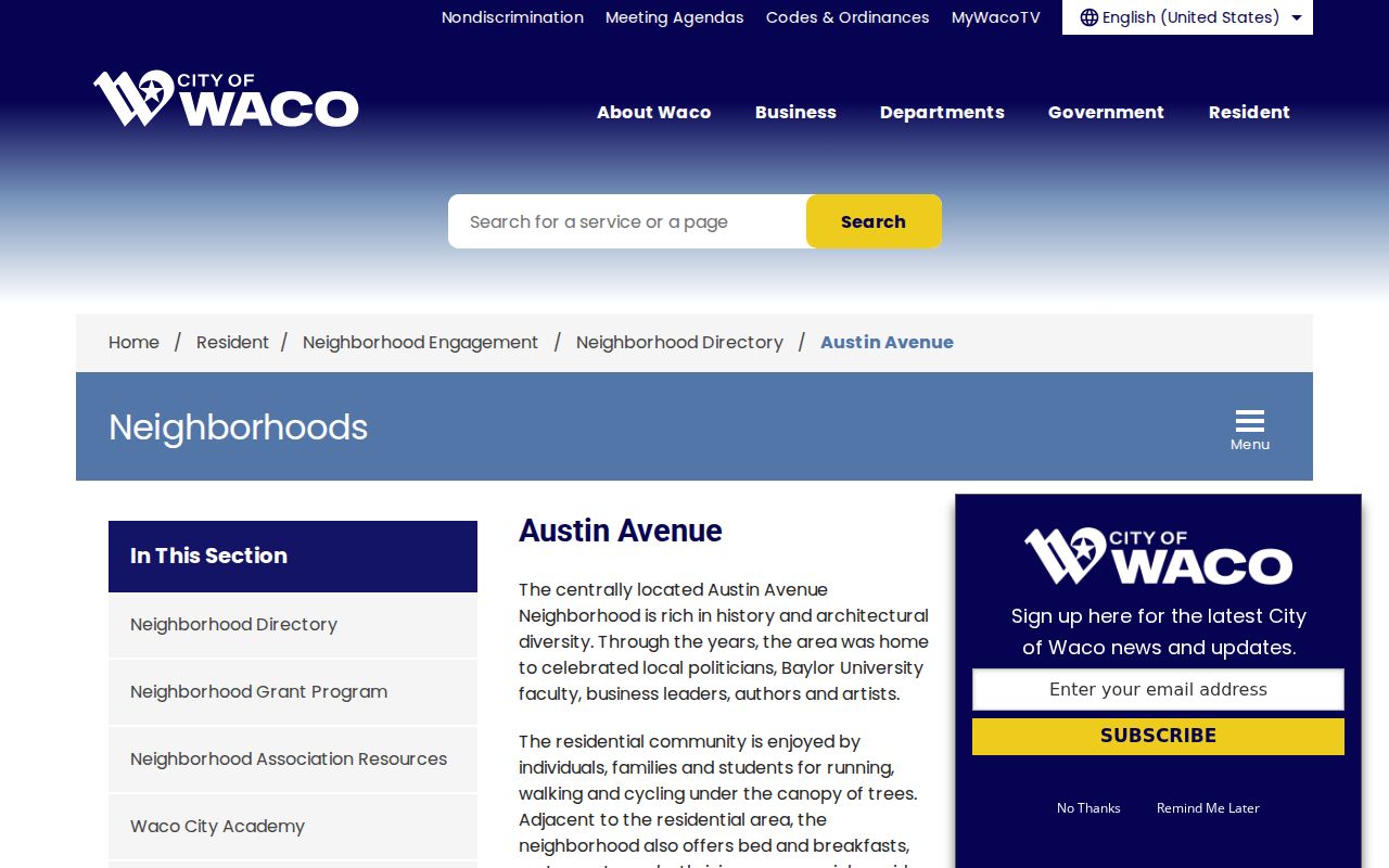
The profile supports a contact and meeting lead, not a conclusion that named people live on a particular parcel or belong to the association.
Brookview’s public city profile shows another voluntary association resource.
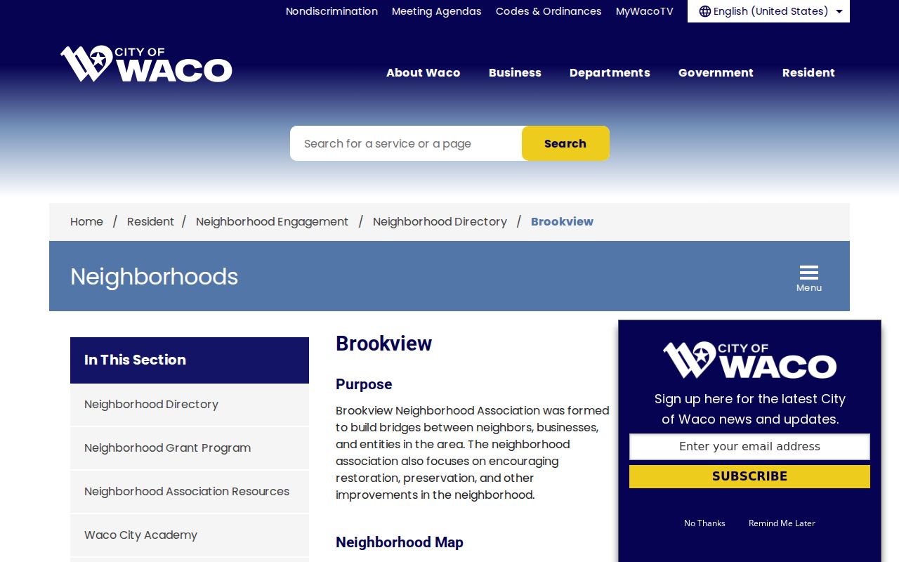
Use the source’s dated organizational information when discussing the block, because association activity and map labels can change.
Public Voter Fields Have McLennan Limits
Texas My Voter Portal uses a VUID, first and last name plus county, or eligible Texas driver-license information. Public-file fields can include name, VUID, residence or mailing address, county, precinct, status, and participation history. A county/name route is not necessarily a statewide name search. Status is time-sensitive, and participation history shows an election event rather than a ballot choice.
The McLennan County Elections office can handle election-record questions, while the Texas Secretary of State public-information process has a separate notarized-affidavit route for voter-file material. Election Code sections 18.005, 18.009, and 18.010 govern public fields, certain use restrictions, and reproduction fees. Protected voters and eligible program participants can have address suppression. Do not reconstruct a protected address from tax, deed, court, or map information.
Note: A voter listing and a parcel record must retain their own dates, custodian, and public-access conditions.
McLennan Neighbor Sources Compared
Official sources preserve the record type and custodian, which makes them better for checking a narrow block fact. Commercial neighbor tools are a category of compiled public and purchased data. Their data can be stale, incomplete, costly, or mistaken, and a compiled result should not decide an identity or present-day occupancy question. A McLennan County neighbors search remains strongest when it points back to the official parcel, map, election, or organization record.
| Official rolls and records | Unnamed commercial neighbor tools | How to use the result |
|---|---|---|
| Show a defined field, custodian, record date, and access rule. | May combine information from varied public and purchased sources. | Use the official record to check a parcel role, jurisdiction, or dated registration field. |
| Can show their own gaps, suppression rules, and retrieval channels. | May not explain source date, matching method, or error correction route. | Do not treat either category as proof of every household member or a protected address. |
McLennan Neighborhood Names Need Dates
A neighborhood name may come from a GIS layer, a voluntary association, a historic district, or a community story. Austin Avenue, Castle Heights, North Waco, Brookview, Northeast Riverside, Sandtown, and Calle Dos do not all describe the same kind of boundary. The research records Sandtown in early twentieth-century Waco and Calle Dos in the 1960s context. Those are historical geography leads, not personal identity labels for people who lived nearby.
For a historic address, the county’s rural road and 911 naming work also explains why an earlier record can use a route, box, landmark, or landowner description rather than a present street number. Crosswalk the old description through a map, deed legal description, and current CAD or parcel identifier before linking it to a McLennan County block.
Preserve the source date with each neighborhood term. Association status, planning boundaries, and GIS labels can shift, even when a familiar local name remains in use.
Privacy Boundaries for McLennan Neighbor Searches
Not every useful detail is public. Private utility and delivery information, full identification numbers, unnecessary dates of birth, signatures, sensitive court material, and protected voter addresses do not belong in a block lookup. The Texas address-confidentiality program protects eligible voters and participants. An association profile supplies a public organization contact, not permission to identify all people connected to a block. When a portal lacks a stable public search, a narrow written Public Information Act request can ask the custodian for existing records, not a new analysis.