
McLennan County ZIP Coverage
The county street-guide legend is the local reference for places and ZIPs. It identifies named places and Waco ranges, but it does not assign a separate post office or station to every ZIP. The post-office column therefore directs users to USPS verification instead of supplying an unconfirmed station name. Postal service areas and municipal boundaries are different systems, so every address should be checked before a records search begins.
| ZIP | Areas covered in county guide | Post office | McLennan County note |
|---|---|---|---|
| 76524 | Eddy | Verify with USPS | County-guide place listing. |
| 76557 | Moody | Verify with USPS | County-guide place listing. |
| 76624 | Axtell | Verify with USPS | County-guide place listing. |
| 76630, 76633, 76638 | Bruceville, China Spring, Crawford | Verify with USPS | Use the address, not a place name alone. |
| 76640, 76643, 76654 | Elm Mott, Hewitt, Leroy | Verify with USPS | County-guide place listings. |
| 76655, 76657, 76664 | Lorena, McGregor, Mart | Verify with USPS | County-guide place listings. |
| 76682, 76684, 76689, 76691 | Riesel, Ross, Valley Mills, West | Verify with USPS | County-guide place listings. |
| 76701–76708 | Waco | Verify each address | Range shown in county guide. |
| 76710–76711, 76714–76716 | Waco | Verify each address | Ranges shown in county guide. |
| 76712 | Woodway and Waco | Verify with USPS | Shared postal code, not a city boundary. |
| 76798 | Baylor Campus | Verify route with USPS | Unique institutional ZIP. |
| 76561, 76621, 76622, 76632, 76673 | Oglesby, Abbott, Aquilla, Chilton, Mount Calm | Verify with USPS | Adjacent or outside-county context in the guide. |
County-guide context is useful at the edge of McLennan County, where a place name and a mailing ZIP can reach beyond a municipal or county line. The local list should be paired with the street number and city or place in the postal lookup.
McLennan County Postal Verification
The USPS ZIP Code Lookup is the verification tool for postal routing. It supports address lookup, city and state lookup, and cities by ZIP. Use it before moving from a ZIP idea to a parcel or directory search. USPS can normalize a deliverable postal address, but it does not confirm a person, prove a current occupant, or decide whether an address lies within a municipal boundary.
| Address lookup | Checks the ZIP associated with a supplied postal address. |
|---|---|
| City and state lookup | Finds ZIP options for the selected postal locality. |
| Cities by ZIP | Shows postal city context for a known ZIP. |
USPS's official lookup displays the postal routes used to verify McLennan County address information.
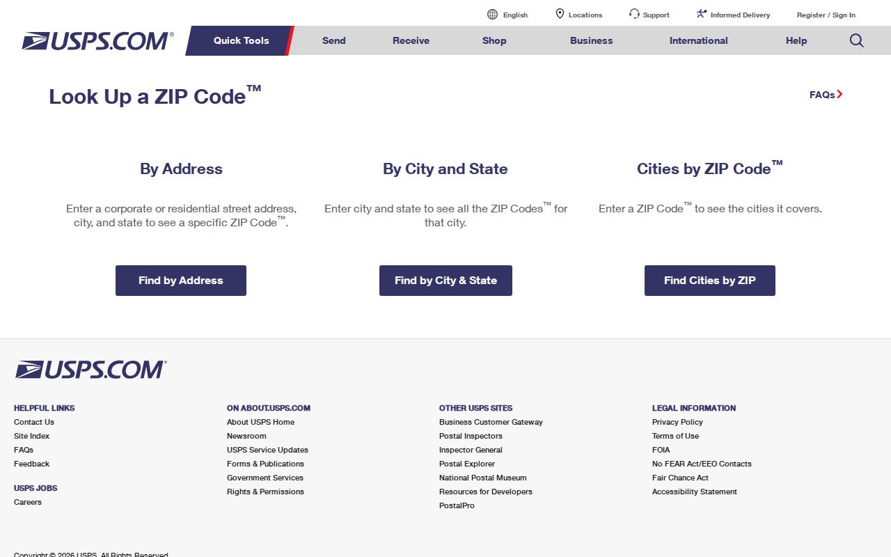
The lookup is a clean first check when postal and city labels appear to disagree in an address record.
McLennan County ZIP Search Routes
A ZIP-by-ZIP search works as a sequence, not as one county filter. The observed county tax portal has owner, property-address, account, CAD-reference, and fiduciary criteria, but no ZIP-specific filter. MCAD can search account, person or address, neighborhood, subdivision, Mapsco, radius, and map analysis. Texas My Voter Portal uses VUID, name and county, or eligible driver-license information, rather than a public ZIP browse. That makes address verification the first step.
- Verify the full address and ZIP through USPS, including the postal city shown for that address.
- Use the street address in the county tax search or MCAD map search to locate the parcel and its situs address.
- Compare the parcel's jurisdiction and map layers, then save the account, CAD/PID, and retrieval date.
- Use the owner or deed party only as a dated record role. If a street-level parcel chain is needed, continue with the McLennan County street directory.
- For voter information, use the authorized name-and-county or VUID route and honor protected-address rules.
A ZIP narrows the area in which to check an address. It does not turn property, deed, or voter systems into a ZIP-wide resident list.
McLennan County Portal Search Limits
MCAD and Waco GIS provide the parcel and map crosswalk after postal verification. MCAD accepts person or address text, neighborhood, subdivision, Mapsco, radius, and account inputs. Waco GIS supplies parcel, PID, boundary, neighborhood, historic, and other overlays. Neither observed interface has a documented ZIP filter. Search by the verified street address, then use the parcel and boundary context to decide which records custodian is relevant.
The county tax portal can pair a first and optional second search criterion. Its result can identify an owner, account, tax-year, mailing address, and situs clue. It does not establish who is currently at the address. The same caution applies when a postal ZIP is attached to a tax or appraisal result.
MCAD map search is the official map route for account, address, geography, and radius work after the address is verified.
McLennan County's official history overview gives local place context for interpreting postal labels.
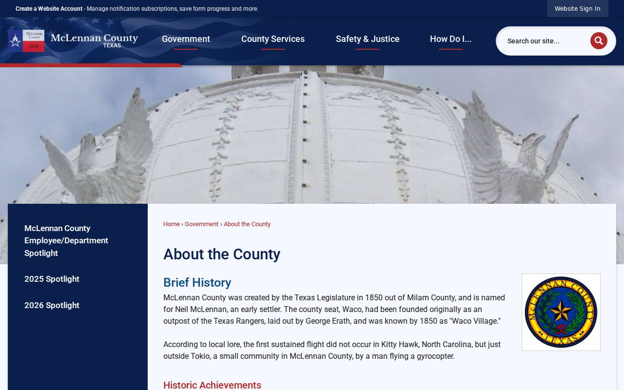
The county place-history capture is useful context for why postal place names, city limits, and record jurisdiction should be checked separately.
McLennan County ZIP Map Context
Census ZIP Code Tabulation Areas, called ZCTAs, are generalized geographic areas. They are not a substitute for the county's local ZIP list or for USPS address verification. A ZCTA can help with broad map context, but a county record search should use the actual address, parcel, and custodian. Treat a map polygon as context, not as a postal routing decision.
The Census explanation of ZCTAs describes the difference between a generalized map geography and USPS ZIP service areas.
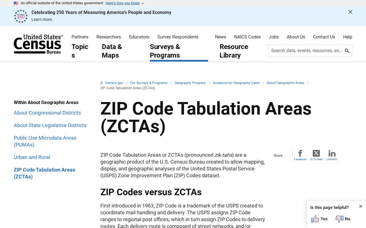
The distinction helps prevent a broad statistical area from being used as an exact McLennan County postal boundary.
McLennan County ZIP Address Types
Postal and land-record language serves different jobs. A ZIP labels postal routing. A ZIP+4 refines delivery within that routing system. A tax or MCAD record may instead use a situs address, mailing address, account number, or CAD/PID. The deed index uses party names, instruments, and legal descriptions. Keep each label with the record that supplied it, because matching one address form to another without a date can create a false connection.
- ZIP code
- A USPS postal-routing code. It does not prove municipal residence or identify a person.
- ZIP+4
- An added four-digit delivery refinement used with a base ZIP.
- PO Box ZIP
- A ZIP used for post-office-box service; it should not be treated as a parcel location.
- Unique ZIP
- A ZIP associated with one institution or organization, such as Baylor Campus ZIP 76798 in the county guide.
- Carrier route
- A postal delivery grouping that can help route mail but is not a public household directory.
Note: Preserve the exact address type and retrieval date when comparing postal, tax, parcel, and deed information.
McLennan County ZIP Boundary Mismatches
McLennan County has a clear local example of the postal-boundary problem. The county guide lists 76712 for both Woodway and Waco. It separately identifies Baylor Campus as 76798. Those postal labels are useful clues, but they do not settle a city limit, jurisdiction, or the records office that holds an event. A Waco mailing label, a Woodway postal context, and a parcel's city jurisdiction can require separate checks.
McLennan County's official history reports 22 incorporated cities and two unincorporated communities across roughly 1,060 square miles. That spread helps explain why a postal-place label is not a shortcut to a municipal-boundary conclusion.
McLennan County Rural Address Changes
The county Mapping Department describes rural-road naming and physical-address work with the emergency-assistance district and 911. Older deeds and directories can use a route, rural box, landmark, or legal description, while current tax, MCAD, and GIS systems use a standardized situs address. The inspected research did not locate a verified countywide renumbering year. Do not assume that an old and new street label changed in a particular year without a dated source.
Bridge an older address through the legal description, a map sheet, the directory street index, and the parcel ID. If the portal does not contain the older form, county books, Archives, TSLAC microfilm, and the appropriate custodian provide the documented access alternatives.
The county's record trail is deliberately hybrid. Bound clerk volumes and court minutes gave way to microfilm, archival rooms, electronic indexes, map services, and portal accounts. An online miss can point to a book, reel, or written request rather than a missing record. Record the older address form, the legal description, the source date, and the account or instrument reference before deciding that a postal change describes the same parcel.
McLennan County ZIP Record Limits
A ZIP code directory cannot confirm that a named person is a current resident. A tax-owner result can identify an owner or parcel record, but the owner is not automatically the occupant. A map can show the parcel's setting, but it cannot establish a household. Voter information has protected-address rules, and a public voter record does not show how a person voted. Keep each source's role and date visible when checking a name or address.
For personal, lawful research, use only fields the custodian makes public and do not reconstruct a protected address from a related tax, map, or deed record. A name plus an address date, or a name plus a stable account or instrument number, is stronger than a ZIP match alone.
McLennan County ZIP Reference Trail
A postal mismatch is often resolved by returning to the right custodian. USPS verifies the postal address. MCAD and Waco GIS connect a verified address to parcel and boundary context. The County Clerk's Official Public Records system uses grantor and grantee names because no legal-description index exists, while older books and archives hold earlier material. Texas Public Information Act requests seek existing records from the governmental body when an online search is unavailable.
The practical order is postal address, parcel or CAD/PID, jurisdiction layer, then the appropriate dated record. That approach preserves the useful ZIP clue while respecting the difference between mail routing, municipal lines, property records, and people.